Outdoor Recreation · Community & Lifestyle
The Greenbrier River Trail in the cold months: towns, shuttles and short days
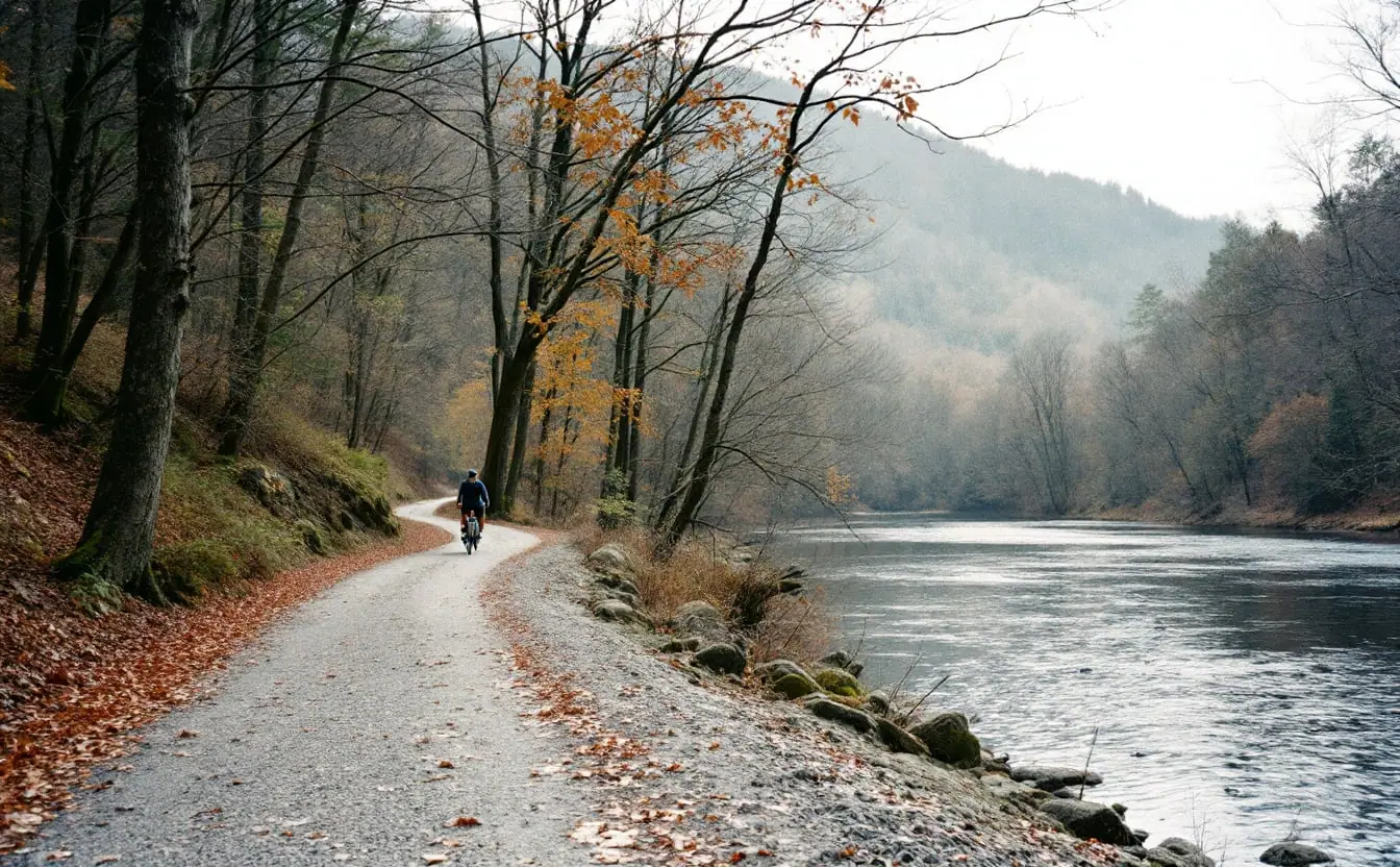
After the leaves come down, the Greenbrier River Trail gets quiet in a way that summer riders never see. You can pedal for an hour along the river without passing anyone, the ridges show their bones through bare oaks, and the old railroad grade feels like it belongs to you. The catch is that the small towns along it run on a short season. By mid-November many of the bike shops, shuttle drivers and cabin owners have cut their hours, and the only clue about who is still open is often a web page that has not been touched since spring. Some outfitters now treat being findable as part of the job, and a few work with local firms such as westvirginiaseo.company to keep their hours and services current in search, but plenty still post winter hours on a paper sign in the window.
So a cold-month trip here takes a little more checking. That is not a reason to skip it. It is one of the best times of year to be on this trail, as long as you plan for the towns, the shuttles and the daylight.
The trail in a paragraph
The Greenbrier River Trail follows the old Chesapeake and Ohio branch line from near Caldwell, just east of Lewisburg, north to Cass, about 78 miles in all. The surface is hard-packed crushed limestone, the grade is the gentle kind railroads were built on, and the route crosses 35 trestles and passes through two tunnels. It opened as a trail in 1980 and is managed as part of the West Virginia state park system. Along the way it passes three state parks and two state forests, which matters in winter because those are often the most reliable places to find a restroom or a parking area that has been plowed. For the line's railroad history, the Wikipedia article on the trail is a good starting point.
If you have never ridden a rail-trail through small Appalachian towns, our piece on rail-trails and the small-town comeback explains why places like this one depend so much on trail visitors.
About these links: some go to partner shops and may earn us a commission.
Which towns still serve you in November
Think of the trail as a string of beads, with a few large beads and many tiny ones. Some of the smallest named stops are little more than a cluster of houses and an old depot site. In the cold months, plan your food, water and help around the larger ones.
| Stretch | What you can usually count on | What to check before you go |
|---|---|---|
| Caldwell and the Lewisburg end | Groceries, restaurants and lodging in a few minutes' drive | Whether trailhead parking is open and plowed |
| Renick to Seebert | Long, quiet river miles, access toward Watoga State Park | Park road conditions and cabin availability in the off-season |
| Marlinton | The trail's main town, roughly midway, with food, fuel and lodging | Winter hours for bike shops, cafes and any shuttle service |
| Clover Lick to Cass | Remote, beautiful upper river; Cass at the north end | Whether anything in Cass is open on your day; seasonal schedules vary |
Marlinton is the anchor. If you only have one day, a ride out and back from there gives you river views in either direction and a warm place to eat at the end.
Planning shuttles when the season is over
In summer, getting dropped at one end and riding back to your car is easy. In late fall it can be the hardest part of the trip. Shuttle services along rural trails are often run by one or two people who also do other work, and their off-season availability changes from week to week.
A few habits help:
- Call at least several days ahead, not the night before. Ask directly whether they run shuttles in November and what happens if the weather turns.
- Confirm the pickup point by name, such as a particular trailhead lot or bridge, not a milepost alone.
- Ask what they do if you are late. In short daylight, a missed pickup can mean riding out in the dark.
- Have a fallback. An out-and-back ride needs no shuttle at all and is the safest plan on a short day.
If you cannot reach anyone, that is your answer. Plan an out-and-back and save the point-to-point ride for spring.
What short days change
In mid-November the sun sets in this part of West Virginia a little after five in the afternoon, and the deep valley loses its light earlier than the clock suggests. Ridges block the low sun long before official sunset. Shadows reach the river first, and the temperature can drop fast once they do.
Plan the day backward from darkness:
- Pick a turnaround time that leaves at least an hour of usable light for the ride back.
- Assume you will move slower than in summer. Wet leaves on limestone are slick, and cold hands make every stop take longer.
- Carry lights even if you expect to be done by three. A small front light and a red rear light weigh almost nothing.
Cell coverage along much of the river is thin or absent. Tell someone your route and your turnaround time before you lose signal, and do not count on a map app that needs a connection.
Sharing the woods in hunting season
Late fall is also hunting season in the national and state forests and on private land that borders the trail. Hunters and trail users share these valleys every year without trouble, but it pays to be seen. Wear blaze orange on your body and, if you ride, on your pack or helmet. Keep dogs leashed and visible. Our guide to hiking during hunting season covers the details, including why the first days of the firearms seasons are the ones to be most careful about.
The river itself
The Greenbrier is one of the longest free-flowing rivers in the East, with no large dams along its main stem. In the cold months that means its level rises and falls with the weather. A dry fall leaves gravel bars exposed and the water clear enough to watch fish hold in the riffles. A few days of rain upstream can turn it brown and loud.
If you plan to paddle any part of it, or simply want to know why the river looks the way it does on your day, read the stream gauge first. Our explainer on paddling small rivers and reading gauges walks through how. For trail users, a high river mostly means wet spots where side streams cross the grade and a chillier ride, since moving water pulls cold air down the valley.
A cold-month packing checklist
- Layers you can add and remove without stopping long: a windproof shell, a warm midlayer, a spare dry base layer in a bag
- Gloves with some grip, plus a thin pair for fixing a chain
- Blaze orange vest or pack cover
- Front and rear lights, charged
- Tube, pump and a basic tool, since help can be far away
- More water than you think, and something warm in an insulated bottle
- Food you can eat with gloves on
- A paper note of the day's turnaround time, shuttle plan and the towns along your stretch
Quick answers
Is the trail open in winter? Yes, the trail itself stays open, but services along it thin out and parking areas may not be cleared after snow. Check conditions with the state park system before you drive.
Can you ride it on any bike? A gravel bike, hybrid or mountain bike with wider tires is the comfortable choice. Thin road tires sink into soft spots, especially after rain.
Where should a first-timer start? Marlinton. It has the most services, sits near the middle and gives you good scenery in both directions.
What about snow? Light snow on the limestone can be lovely to ride or walk. Deeper snow turns the grade into a cross-country ski route, and some people bring skis for exactly that. Ice under fresh snow is the real hazard; go slow on trestle approaches and shaded cuts.
The best hour of the day
On a clear November afternoon, the last hour of good light on the Greenbrier is worth planning a whole trip around. The low sun lights the far bank while your side of the river is already in shadow, and the sycamores along the water glow almost white. Be turned around and heading back by then, so you can watch it without racing it. Check the Field Almanac for what else is moving in the valley this month, and pack one more layer than you think you need.